Tuesday, June 28, 2011

Alp-ining.

Getting a bit frustrated with the delays in getting back to the alpine country. Moving house has been very time consuming - between planning the move, making the move, cleaning up old house, getting stuff sorted out at the new house and assembling a 6 meter shed for Tania's pottery - it has managed to blow out to 6 weeks.

I am also stalled in the middle of my tent project. The plan is to make a tent that is suitable for 4 season (read 'snow') camping. It is a 4-sided, floor-less pyramid tent. I got the idea for it on from an article at BPL. I imported the materials from the US and was well into the sewing stage when I ran out of thread! I wasn't able to get it the same thread here in Oz, so have to wait another week or so until a new supply comes in. Damn!

In the meantime, I have kept myself busy with a couple of other diy (or MYOG, as the Americans like to say) projects
I will do full posts on these projects once they're done.

Sunday, June 26, 2011

Trip Report: Lerderderg Gorge, Vic, Australia

Lerderderg State Park is about 2 hours drive west of Melbourne. It's main feature is a 300 metre deep gorge that runs north-south through the park, as well as some history gold mining relics in a few places.

Had nothing planned for the weekend so drove up there with the plan to stop overnight somewhere in the gorge.

Stopped at a quaint old general store in Myrniong - unhappy to discover that the only store in the area did not serve coffee! Headed off again, muttering about country bumpkins.


There are a number of possible walks in the park. The most documented one is the walk that follows the river, from O'Brien's Crossing Camping ground in the north to MacKensies Flat Picnic Area in the South. My route involved a circuit, accessing gorge around the mid-point, at Lane, then following Foxy Lane Track and Bears Head Range Track into the gorge, up a tributary, back around to the old Ah Kow mine area, then out via Hogan Track and Ah Kow Track.

At the start - a lovely rural vista


The track on Foxy Lane is easy going.


Got a bit of regrowth on Bears Head Gully track, above the river.


There were a heap of these orb-type spiders in this section. They specialised in building webs at about head height - required judicious and frequent use of the staff to clear a path.


The steep drop down to the river.


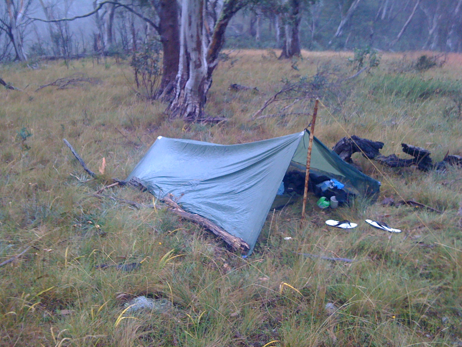
Found what would be a top spot to camp.


The river


Entrance to the tributary. The route involved following up this for about a kilometre.


Finally came to the waterfall which marked the end of the river scramble. Stopped for a lunch and a 'cowboy coffee'.


Did a pose at the Ah Kow camping area. It's harder than you think to use the camera timer when you have a pack.


The gorge in many parts has very steep sides. The track leaving Ah Kow is particularly steep and it was an hands and feet scramble to get up and out.


Got back to car at nightfall. Car was covered in grass clippings. Seems I had parked on the local farmers grass on lawnmowing day, so he just cut all around the car.

Headed over to MacKensie Picnic ground with the plan to do some stealth camping, but the place was locked up - it really was just a day picnics area. A better choice would have been to drive up to O'Briens. Instead I called it a day and headed home for a regular bed.

I really enjoyed the day at Lerderderg and would definitely recommend it for a 1-2 day hike.


Thursday, June 23, 2011

Trip Report: Mt Clear Traverse


Headed off in early April for the long but pleasant drive from Melbourne to the Mt Clear area via Mansfield, Sheepyard Flats, 8 Mile Gap then down into the Jamieson River valley. The plan was to follow the route described in walk 21 in 'Bushwalks in the Victorian Alps' by Glenn van der Knijff.

Missed the turnoff but didn't realise my error for a few k's, when it ocurrred to me that the road was really only fit for a four wheel driver and not the mighty Magna. Turned around and eventually found the track start.

First up was a 1.5km walk to Clear Creek.


Followed the steep 4wd track to a crest.


Connected up with the AAWT and went up to the Nobs (1,495m). Some great views.


From the Nobs I followed the footpad to High Cone (1,488m), then on towards Square Top.


The original plan had been to walk through to the suggested campsite beyond Mt Clear. However, between the late start, slow pace and a few unscheduled ("where the hell is that track?") delays, I had only gotten as far as the base of Square Top before it got dark.


There was also a change in the weather coming. I dithered around a bit finding a campsite that was on level ground and had some shelter, then pitched the tarp tent. With the wind starting to rise I used a few decent-sized branches to secure the windward side of the tent.


It was a full on night with heavy rain and howling winds from all directions. It would've been exciting but for the water getting into the tent. I was also cold in my not-top-of-the-range synthetic bag, even wearing my fleece top. Also, the vinyl ground sheet I used really wasn't up to the task, ripping in a few places on roots and stones. I resolved to work out a better shelter system before the next trip. My camera came off the worst from the night - when I picked it up in the morning it was dripping with water. Suffice to say that I had to use my iPhone 3GS for the photo duties from that point on.


Ater my usual hot breakfast (B&E/brewed coffee) I broke camp and headed up Square Top (1,587m)...


...then made my way to Mt Clear (1,695m). No views this day.


From Mt Clear the trail dropped steeply to where it met a 4wd track.


At this point the route leaves the AAWT for a 7km walk along the 4wd track. The walk is easy and through some beautiful bushland. In the last section the track descends to the Clear River and is heavily overgrown with regrowth in many places. After the rain of the previous night it made for a soggy finish to the hike.


Tedious walk up the road back to the car, then back to Mansfield for a well-earned coffee and lunch.

Lessons learned:
  • Don't wait until Saturday morning for weekend hikes - better to get to the start area on Friday night, ready for an early start the next morning.
  • When a couple of gnarly old blokes in well-loved Landcruiser tell you that the road is going to get a bit rough for your 2wd sedan, take notice.
  • Get a better shelter system to keep out rain and wind.
  • Get more obsessive about protecting electronic gear.